top of page

Oregon SxS Club
Where the Adventure Begins
Where SxS Adventures Begin

Join Our Journey
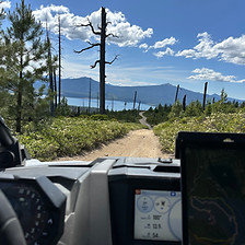
Oregon SxS Club is more than just a website; it's a community hub dedicated to the Side-by-Side experience. We focus on connecting riders with valuable resources, event information, and the latest news in the SxS world. Together, we create a network that enhances the SxS riding experience.
bottom of page